Fire Safe San Mateo News
Wildfire Safety Blog and News from Fire Safe San Mateo.
Smoke and Air Quality Maps
Available maps and data to help assess air quality resulting from fires

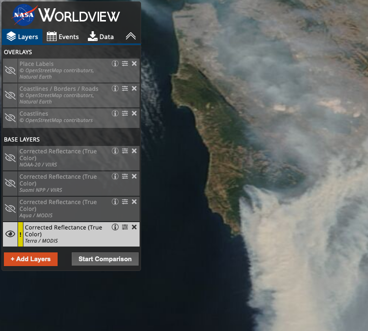
Actual image of smoke: NASA satellite image
Air quality (based on frequently updated measures of particulate matter): purpleair.com
Air quality from US EPA (includes a mix of high and low-cost sensor which measure particulate matter): Fire and Smoke Map
Spare the Air info and Air Quality Index maps through Bay Area Air Quality Management District (BAAQMD)
Air Quality Forecasts (table format) through BAAQMD and sign up for AirAlerts
NOAA (National Oceanic and Atmospheric Administration) Air Quality Forecast Guidance (map format- change menu option to "surface smoke")
About the author
Copyright 2012-2023. FIRE SAFE San Mateo County | SiteAdmin | Web Design by XMR Fire